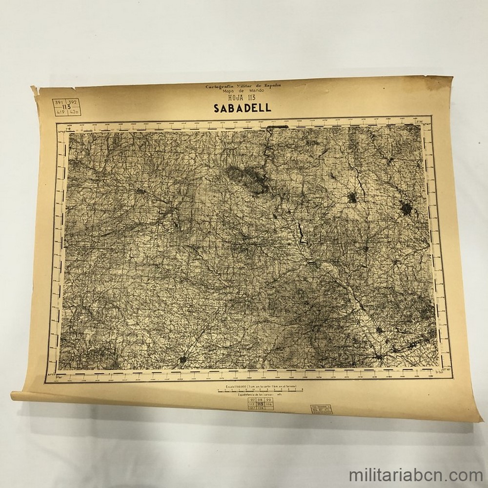
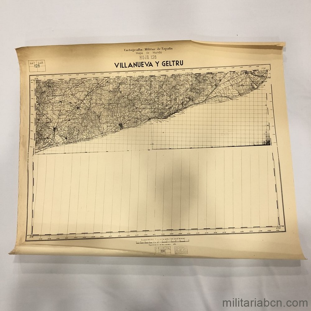
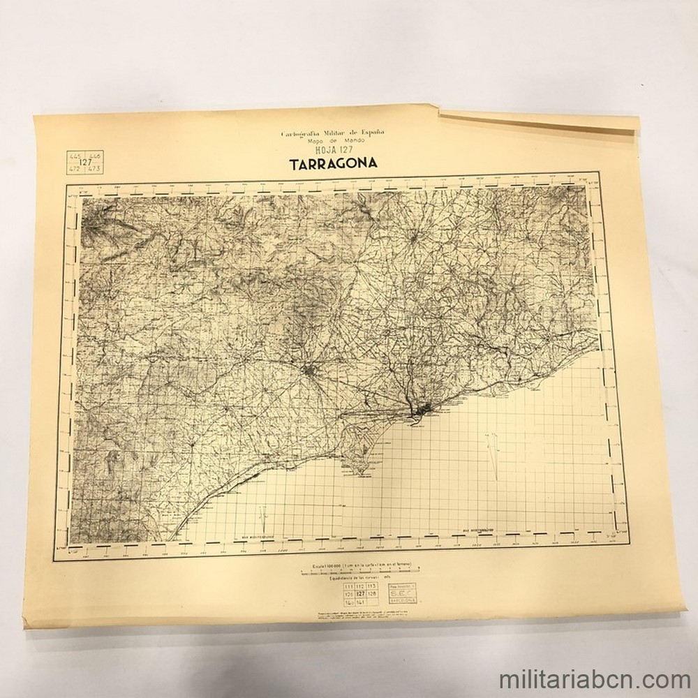
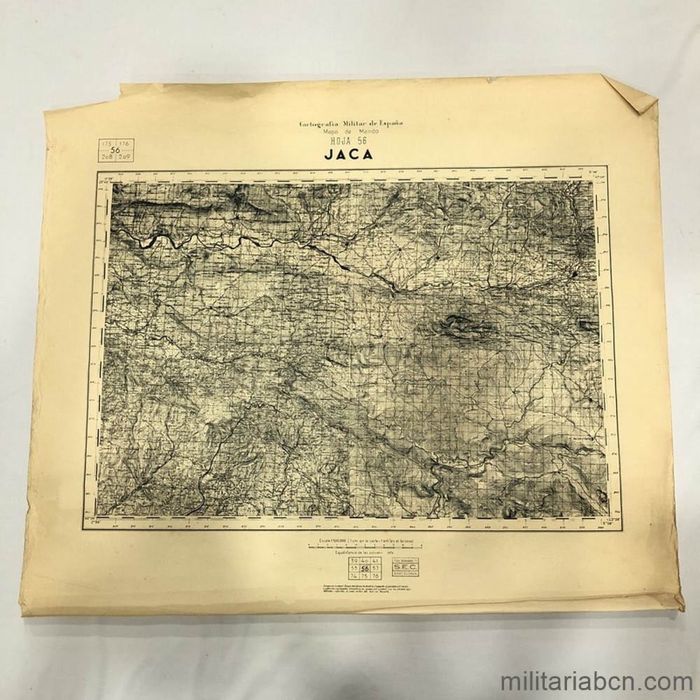
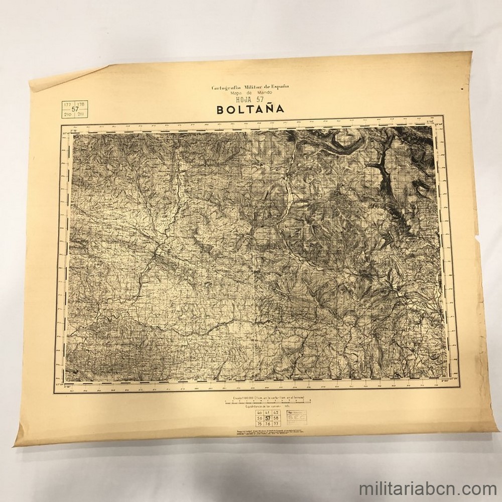
Spain. Military Cartography of Spain, HQ’s Map, Sheet 113 Sabadell. Scale 1:100,000. Map of the Spanish Civil War of the Nationalist Army. The Military Cartography Regulations of 1933 established the Command Map at a scale of 1:100,000 to fulfill a strategic function of the General Staff. When the war began, these were not fully developed and many times each side had to create their own maps. In the National Army they were printed between 1937 and 1938 and their creation required having the four sheets corresponding to 1:50,000 that served as a base. This was not always possible, and some of the 1:100,000 sheets have gaps in some of their quadrants. It is stamped «S.E.C. Plaza Universidad, 11 Barcelona» in reference to the Spanish Cartography Society which presumably classified the map after the war. Size 62 x 51 cm approximately.